Transportation and Infrastructure

How Does Winnipeg’s Grid-Like Road System Shape Everyday Travel?
Winnipeg’s grid-like streets make everyday travel more flexible by offering multiple routes between many neighbourhood destinations. A blocked intersection does not always require a lengthy diversion: in connected areas, drivers and cyclists can often reach another street running in the…
Read more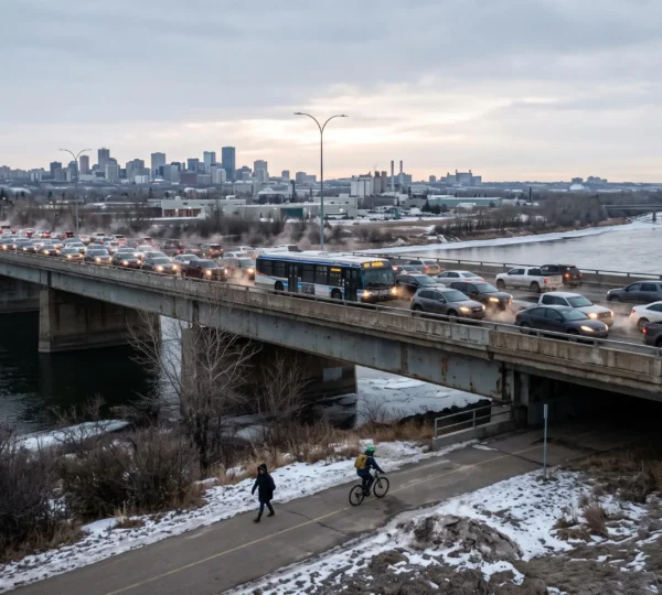
How Does Winnipeg’s Transportation Network Keep People and Goods Moving?
Winnipeg’s transportation network moves people and goods through an interconnected system of streets, river crossings, public transit routes, walking and cycling facilities, rail connections, and freight corridors. Each component serves different trips, but none operates entirely independently. A disruption on…
Read more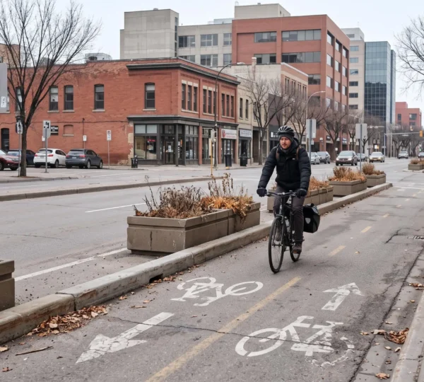
How Can Winnipeg’s Bike Paths and Walking Trails Improve Everyday Mobility?
Winnipeg’s bike paths and walking trails can make everyday travel more practical by connecting neighbourhoods, workplaces, shops, schools, and transit stops without requiring a car for every journey. Their usefulness depends on more than the amount of infrastructure available. A…
Read more